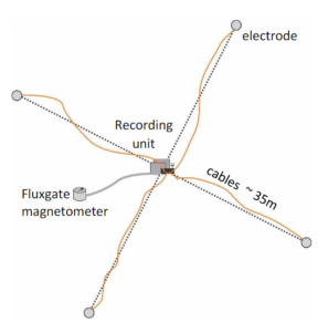
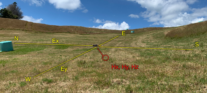
You might not think about it, but electricity can flow through the ground under our feet! How well the landscape around us conducts electricity depends on what kinds of materials it is composed of – for example, different types of rock, minerals, soil and water.
This is really useful when you’re designing a system to supply electricity, like one that provides homes with power from a power station. Sometimes there can be excess current in power lines because of a lightning strike, or something can cause a short circuit, like a tree falling on the lines. Power grids are often connected to the ground, or “earthed”, so they can direct excess currents safely into the ground instead of damaging equipment or causing a fire.
What is Magnetotellurics?
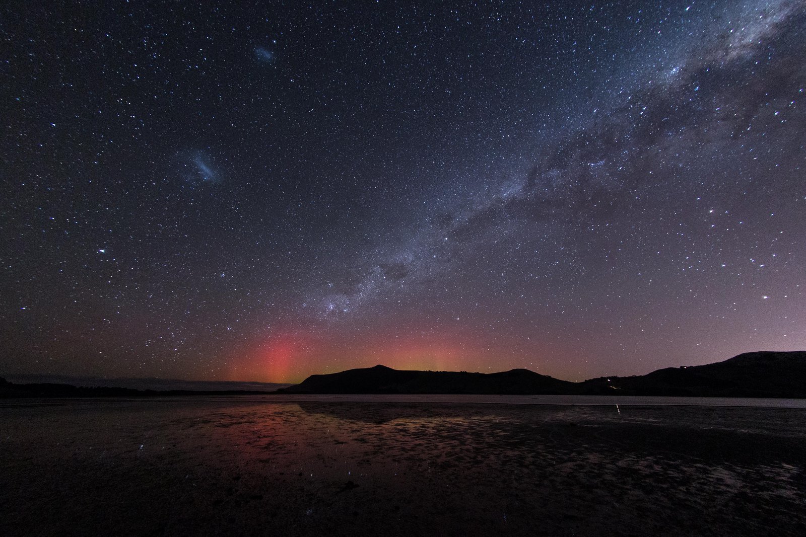
Space weather can cause big changes in the Earth’s magnetic field, especially when the Sun emits a large Coronal Mass Ejection – a big plume of ionised gas and charged particles that’s released from the Sun’s atmosphere into interplanetary space. When a CME is launched towards the Earth and reaches its magnetosphere, the Earth’s magnetic field changes shape.
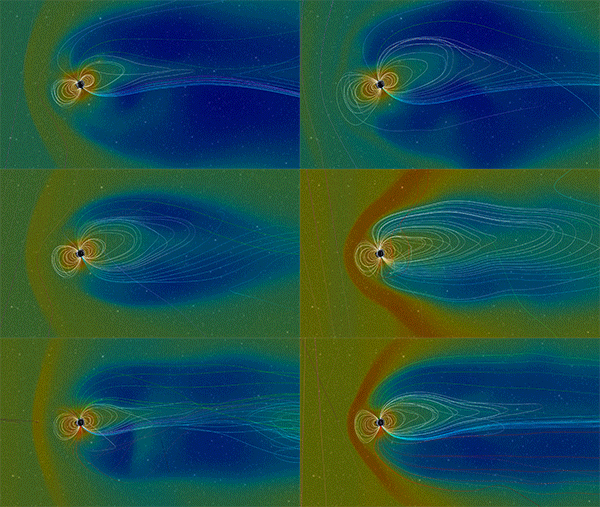
These changes interact with the electrical properties of the landscape, leading to something called “voltage potentials” across the ground, which make the landscape act a bit like a battery. If we compare electricity to water, a voltage potential is like an increase in water pressure in one place, which makes water flow to where the pressure is lower. Similarly, when there are higher and lower voltages across the landscape, electrical current can start to flow.
Electrical currents follow the path of least resistance; so when space weather causes Geomagnetically Induced Currents (GICs) near earthed power lines, the resistivity of the landscape affects how much of the current will flow through the power lines and how much will flow through the soil instead. Because of this, when power companies are working to understand the effect that space weather might have on their power lines or gas pipelines, they need data about the electrical properties of the landscape to fill in some important gaps.
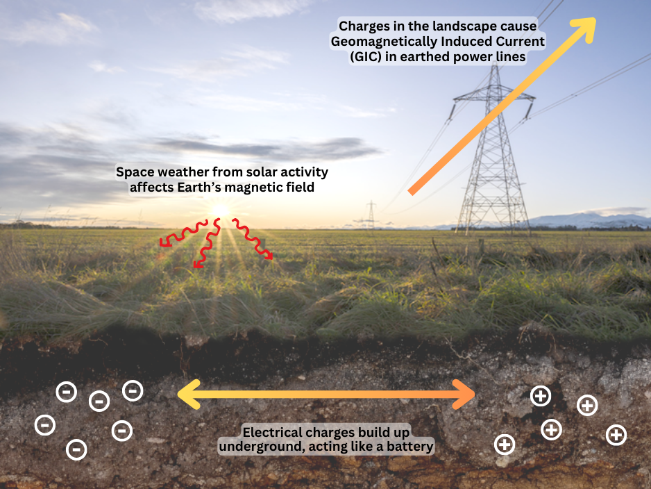
The science concerned with understanding the electrical and magnetic properties of the landscape is called magnetotellurics (or MT for short) – magneto referring to magnetism, and tellurics referring to the Earth.
Meet Kristin
Kristin Pratscher started collecting MT data as part of Green Geophysics Inc., a field team contracted out by Oregon State University and the US Geological Survey. Data acquisition was funded by the National Science Foundation and NASA to support the completion of the national-scale MT Array across the North American Continent. This work was essential to the US electric power industry’s efforts to assess and mitigate GICs caused by space weather. Kristin enjoyed doing this work, and looked for other opportunities to continue collecting data for space weather investigations, leading her to join the Solar Tsunamis team in Aotearoa, NZ.
As a PhD student at VUW, she coordinates permissions and logistics to access land where she can install temporary MT instruments provided by GNS Science. After collecting the MT data, she analyses the results using Magnetotelluric Electromagnetic Transfer Functions (EMTF) to model GICs in power station transformers. She also communicates with the public about the work the Solar Tsunamis project is doing to investigate the impact of GICs on New Zealand’s infrastructure.
In 2023, the team collected data from 53 sites in Northland over 10 months, on mostly private and forestry lands. They chose sites with the least electrical interference, such as places furthest away from power lines, pipelines and roads. Sometimes their work was delayed by animal disturbances, flooding, getting stuck in the mud, and severe weather events like cyclone Gabrielle. Despite the challenges, Kristin describes her experience on the regional survey as “superb”!
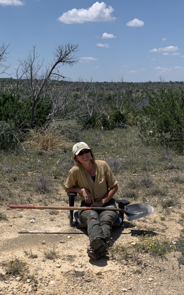
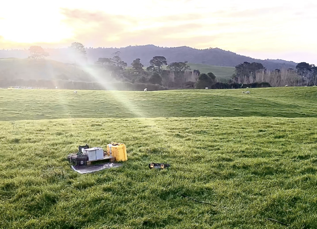
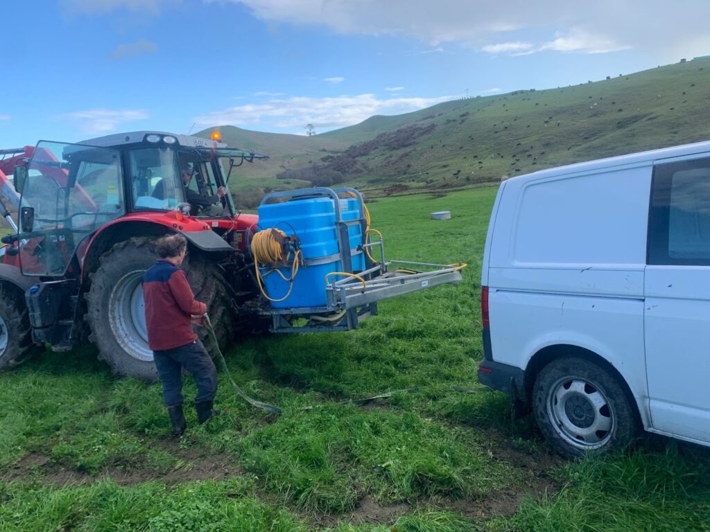
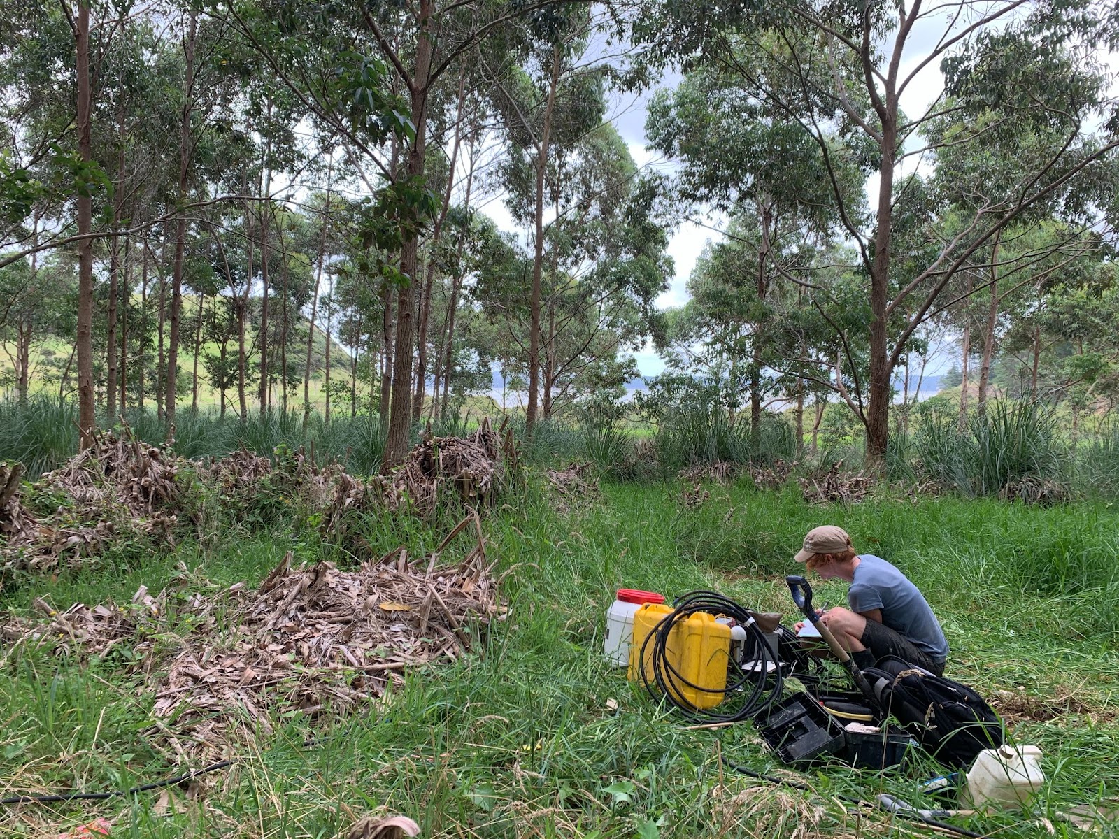
Kristin enjoyed talking to landowners, who were very accommodating to the study. Many of them were well informed of space weather hazards and willing to help out. At several sites, children from homeschool groups came out to help them install their instruments. They were given guided tours to ideal site locations by forestry rangers, given access to corporate farming lands, had many invites from farmers for tea and biscuits, and even installed a site in Hobbiton.
The data Kristin and the team collected provides a wealth of information about the conductivity structure of Aotearoa, New Zealand. Using similar data collected previously from the South Island, Kristin modelled the expected GIC levels in nearby transformers during two historical storms – one from March 2015 and the other in September 2017. The modelled GICs compared very well with GIC data actually measured during these storms by Transpower.
Modelling that uses the long period MT data Kristin has collected produces satisfactory results with better coverage of higher frequency storms than previous models. Kristin is exploring further investigations into how the magnetic fields vary over large distances in collaboration with the Solar Tsunamis team.
